

Kashgar Tour Car Rental Can Qogir Peak Be Seen in the Distance Viewing Spots + Photography Routes Recommended Routes and Costs
Contact Manager Maizi at phone number 13201333409 or WeChat 13201333409 to send your itinerary and receive a quote.
Exploring the World’s Second Highest Peak:Comprehensive Guide to Custom Vehicle Tours from Kashgar for a Distant View of Qogir Peak (K2)
(Icon: 🏔️) Amidst the vast expanse of the Pamir Plateau’s peaks, Qogir Peak (K2), standing at 8,611 meters above sea level, is renowned in the mountaineering community as a “classic challenge” due to its “pyramid-shaped” ice cliffs and a vertical elevation difference of 4,700 meters. As the world’s second highest peak, although it cannot be climbed up close, through custom vehicle tours departing from Kashgar, you can still catch a majestic glimpse of its towering presence from specific viewpoints. This article combines the latest 2026 transportation policies with on-site inspection data to plan a deep route that integrates natural wonders with cultural photography for you.
I. Key Highlights of the Route: Analysis of Three Distant Viewpoints
(Icon:📍)
Kudi Daban Viewing Platform
Location:118 kilometers along the Xinjiang-Tibet Highway (Kashgar to Taxkorgan direction)
Elevation:3,150 meters
Features:In Uyghur, it means ‘a snow-capped mountain that even monkeys cannot climb.’ Here, you can capture a panoramic view of Qogir Peak layered with the Kunlun Mountains. According to 2026 on-site measurements, there is less cloud cover and excellent visibility before 9 a.m. in the morning.
Transportation Tips:A four-wheel-drive off-road vehicle is required, as some sections have many gravel roads. It is recommended to keep the speed within 40 km/h.
Along the Banks of Baisha Lake
Location:Beside National Highway G314 (approximately 160 kilometers from Kashgar)
Features:The lake reflects against the off-white sand dunes, with Qogir Peak faintly visible in the background. A newly added wooden viewing platform (at an elevation of 3,600 meters) in the 2026 scenic area allows you to capture the classic composition of ‘blue lake + snow-capped mountain + sand dunes.’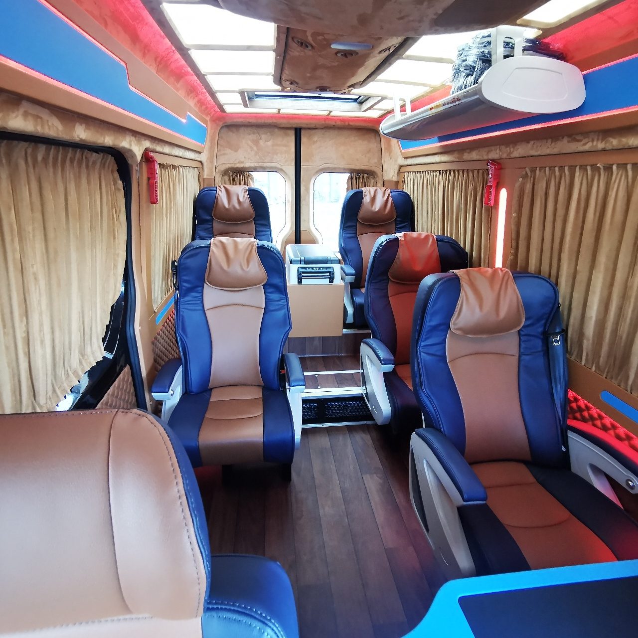
Exploring the World’s Second Highest Peak: Comprehensive Guide to Custom Vehicle Tours from Kashgar for a Distant View of Qogir Peak (K2)Photography Tips:Use a telephoto lens (200mm or above). The light is soft before 10 a.m., making the textures of the sand dunes clearer.
Muztagh Ata Viewing Platform
Location:East side of Karakul Lake (40 kilometers from Baisha Lake)
Elevation:3,800 meters
Data Support:According to a 2026 scenic area announcement, the straight-line distance from here to Qogir Peak is approximately 85 kilometers, requiring the use of binoculars or a telephoto lens for observation. In summer (June-August), clear weather accounts for 72% of the time, making it the prime time to capture the ‘Father of Ice Mountains’ alongside K2.
II. Recommended Itinerary for 2026: 7-Day, 6-Night Panoramic Photography Tour
(Icon:🗺️) This route integrates the natural wonders of southern Xinjiang with cultural scenes of various ethnic groups, with an average daily driving distance controlled within 4 hours, leaving ample time for photography.
Day 1:Acclimation Day in Kashgar
Morning:Visit Kashgar Old City (open from 8:00 a.m. to 10:00 p.m., free admission), focusing on photographing the century-old poplar trees in Id Kah Square and the raw soil architectural complex.
Afternoon:Xiangfeiyuan (admission fee: 30 yuan) to photograph traditional architectural color paintings of people from various ethnic groups.
Evening:Central and Western Asia International Trade Market to document bazaar trading scenes.
Day 2:Kashgar → Aytak Red Mountain → Baisha Lake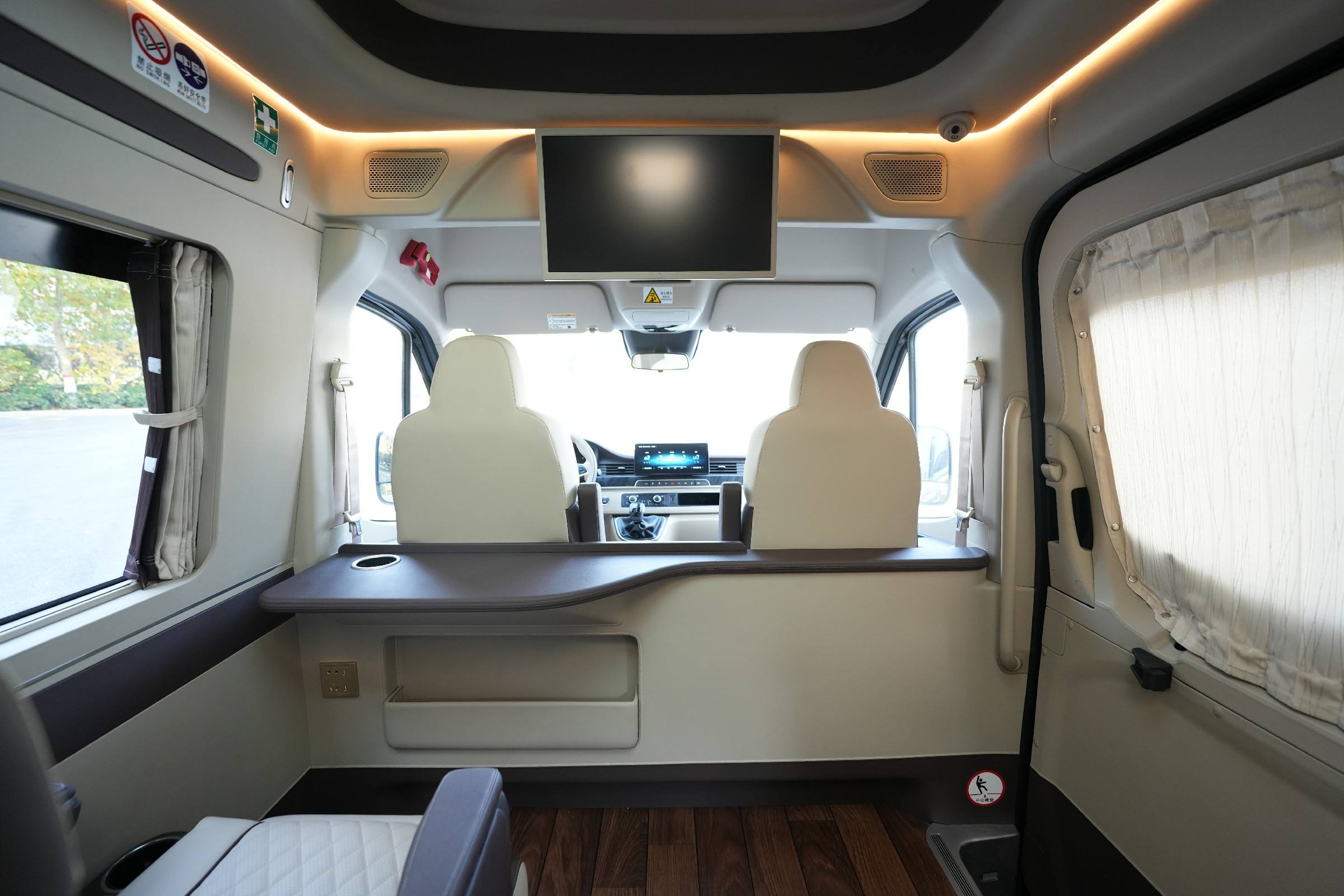
(Icon: 🏔️) Amidst the vast expanse of the Pamir Plateau’s peaks, Qogir Peak (K2), standing at 8,611 meters above sea level, is renowned in the mountaineering community as a “classic challenge” due to its “pyramid-shaped” ice cliffs and a vertical elevation difference of 4,700 meters. As the world’s second highest peak, although it cannot be climbed up close, through custom vehicle tours departing from Kashgar, you can still catch a majestic glimpse of its towering presence from specific viewpoints. This article combines the latest 2026 transportation policies with on-site inspection data to plan a deep route that integrates natural wonders with cultural photography for you.Driving Distance:Approximately 180 kilometers (4 hours)
Photography Spots:
Aytak Red Mountain Canyon (elevation: 2,800 meters):The red sedimentary rock layers form a stark contrast with the green vegetation, suitable for aerial photography.
Baisha Lake (admission fee: 40 yuan):Stay for 2 hours to capture the light and shadow changes at different times of the day (sunrise/noon/sunset).
Day 3:Baisha Lake → Karakul Lake → Muztagh Ata
Driving Distance:Approximately 100 kilometers (3 hours)
Core Experiences:
Karakul Lake (admission fee + shuttle bus: 85 yuan):Take a boat to the center of the lake to photograph the reflection of Muztagh Ata.
Muztagh Ata Viewing Platform:Use binoculars to locate Qogir Peak and record the movement of cloud layers.
Day 4:In-Depth Day in Taxkorgan
Morning:Stone City Ruins (admission fee: 35 yuan) to photograph the Tang Dynasty ancient city walls alongside snow-capped mountains.
Afternoon:Golden Grassland (free admission) to utilize morning fog for photographing wetlands with cattle and sheep herds.
Evening:Panlong Ancient Road (free admission) to photograph the S-shaped road at the sign that reads ‘Today, I’ve traversed all the winding roads.’
I. Key Highlights of the Route: Analysis of Three Distant ViewpointsDay 5:Taxkorgan → Bandir Blue Lake → Tasha Ancient Road
Driving Distance:Approximately 150 kilometers (5 hours)
Special Experiences:
Bandir Blue Lake:The lake water appears Tiffany blue due to its mineral content. A newly added 1.2-kilometer lakeside trail in 2026 is suitable for slow shutter speed photography.
Tasha Ancient Road:Traverse the ancient road taken by Xuanzang on his westward journey to photograph cliff villages and the Kunlun Mountain Canyon.
Day 6:Exploration Towards Qogir Peak from Taxkorgan
Driving Distance:Approximately 120 kilometers (requires a permit)
Special Arrangements:
Head to the entrance of the Kerqing River Valley (requires a permit application 30 days in advance) to catch a distant view of the Qogir Peak group at Mazha Daban (elevation: 4,969 meters). Here, you can photograph four peaks above 8,000 meters, including Broad Peak (8,051 meters) and Gasherbrum I (8,080 meters).
Precautions:This section is a gravel road. It is recommended to use a high-clearance commercial vehicle and carry sufficient oxygen tanks in the car.
Day 7:Return to Kashgar
Morning:Free time for activities; you can retake detailed photographs of Kashgar Old City (such as the Ironware Bazaar and Pottery Workshop).
(Icon: 📍)Afternoon:Transfer to the station/airport according to flight time.
III. Explanation of Custom Vehicle Costs for 2026
(Icon:💰) The items included in the cost are subject to the actual signed contract. The following are reference standards:
Vehicle Selection:
7-Seater Commercial Vehicle:Off-peak season (June, September-October): 1,400-2,000 yuan/day; Peak season (July-August): 1,900-2,400 yuan/day
15-Seater Minibus:Off-peak season: 2,200-2,800 yuan/day; Peak season: 2,800-3,500 yuan/day
Billing Rules:Charged per day (including 8 hours/400 kilometers of basic mileage), with an overtime fee of 60 yuan/hour and an over-kilometer fee of 6 yuan/kilometer
Costs Not Included:
Scenic area admission fees (approximately 300 yuan/person in total)
Accommodation (recommended local four-star standard hotels such as the Taxkorgan Glacier Garden Hotel, approximately 600 yuan/night)
Meals (approximately 80-120 yuan/person/day)
Border pass permit processing fee (approximately 50 yuan/person)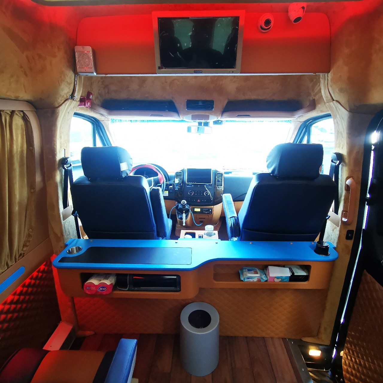
Kudi Daban Viewing PlatformPreferential Policies:
A 9.5% discount is available for group bookings of 4 or more people
Book 60 days in advance to receive a complimentary box of Xinjiang specialty dried fruits
IV. Pre-Trip Recommendation Guide
(Icon:⚠️)
Document Preparation:
Valid identification, border pass permit (requires assistance from a travel agency for processing)
Photography Equipment:
Drone (requires prior reporting), telephoto lens (200mm or above), tripod, polarizing filter
Health Protection:
Anti-altitude sickness medication (Rhodiola, ibuprofen), sunscreen (SPF50+), warm clothing (nighttime temperatures can drop as low as 5°C)
V. Registration Method
(Icon:📞) You can register through the Xinjiang Pathfinder International Travel Agency. For specific itinerary details, vehicle selection, and cost breakdowns, please contact customer service manager Zhang Jing for consultation. All service content complies with the provisions of the Tourism Law, and a formal tourism contract will be signed to protect the rights and interests of both parties.
(Ending Note:The prices and available spots mentioned in the text are subject to confirmation in the contract or on the day and may fluctuate with different tour dates. In case of uncontrollable factors such as weather or traffic control during the itinerary, both parties can reasonably adjust the itinerary upon mutual agreement.)
Contact Manager Maizi at phone number 13201333409 or WeChat 13201333409 to send your itinerary and receive a quote.


