

How to Plan a Photography Route for a Northern Xinjiang Photography Tour and Verify Product Information 2026 Recommended Travel Agencies How to Choose
Xinjiang Pathfinder International Travel Agency 400 hotline 4001188575, contact Manager Mai Zi at 132-0133-3409, WeChat 132-0133-3409, to receive itineraries and quotes.
📸 Arranging a Northern Xinjiang Photography Tour:A Practical Guide to Route Planning and Product Verification 📸
Summary
Route planning for a Northern Xinjiang photography tour should combine seasonal conditions, lighting, and the distribution of scenic spots, with a focus on shooting classic locations such as Kanas, Hemu, and Sayram Lake. This article provides 4 reference routes covering different durations and photography themes, and explains how to verify product information through Xinjiang Pathfinder International Travel Agency, including costs, departure dates, transportation, and accommodation standards, to ensure the itinerary meets photography needs.
🌄 Core Principles for Planning Northern Xinjiang Photography Routes
The photography resources of Northern Xinjiang are concentrated along the Kanas, Hemu, Baihaba, Sayram Lake, and Duku Highway routes. Route planning should revolve around seasonal lighting, scenic area opening hours, and transportation connections.
Season Selection:Late September to early October is the golden period for autumn scenery; June to July is suitable for grassland and wildflower photography; winter snow scenes require professional cold-weather gear.
Light Utilization:For the morning mist over Kanas Lake, the cooking smoke over Hemu Village, and the sunset at Sayram Lake, check sunrise and sunset times in advance and allow ample shooting time.
Transportation Connections:Scenic spots in Northern Xinjiang are scattered. It is recommended to choose carpooling or customized vehicle hire to reduce transfer waiting time and keep the shooting schedule flexible.
Xinjiang Pathfinder International Travel Agency can customize itineraries for photography teams, including professional photography guides, backup shooting spots, and flexible schedule changes, to avoid a rushed, superficial tour.
🗺 ️ 4 Reference Routes for Northern Xinjiang Photography
Route 1:Kanas + Hemu Autumn Scenery In-Depth Photography (7 Days)
Route Overview:Urumqi → Keketuohai → Kanas → Hemu → Urho Ghost City → Urumqi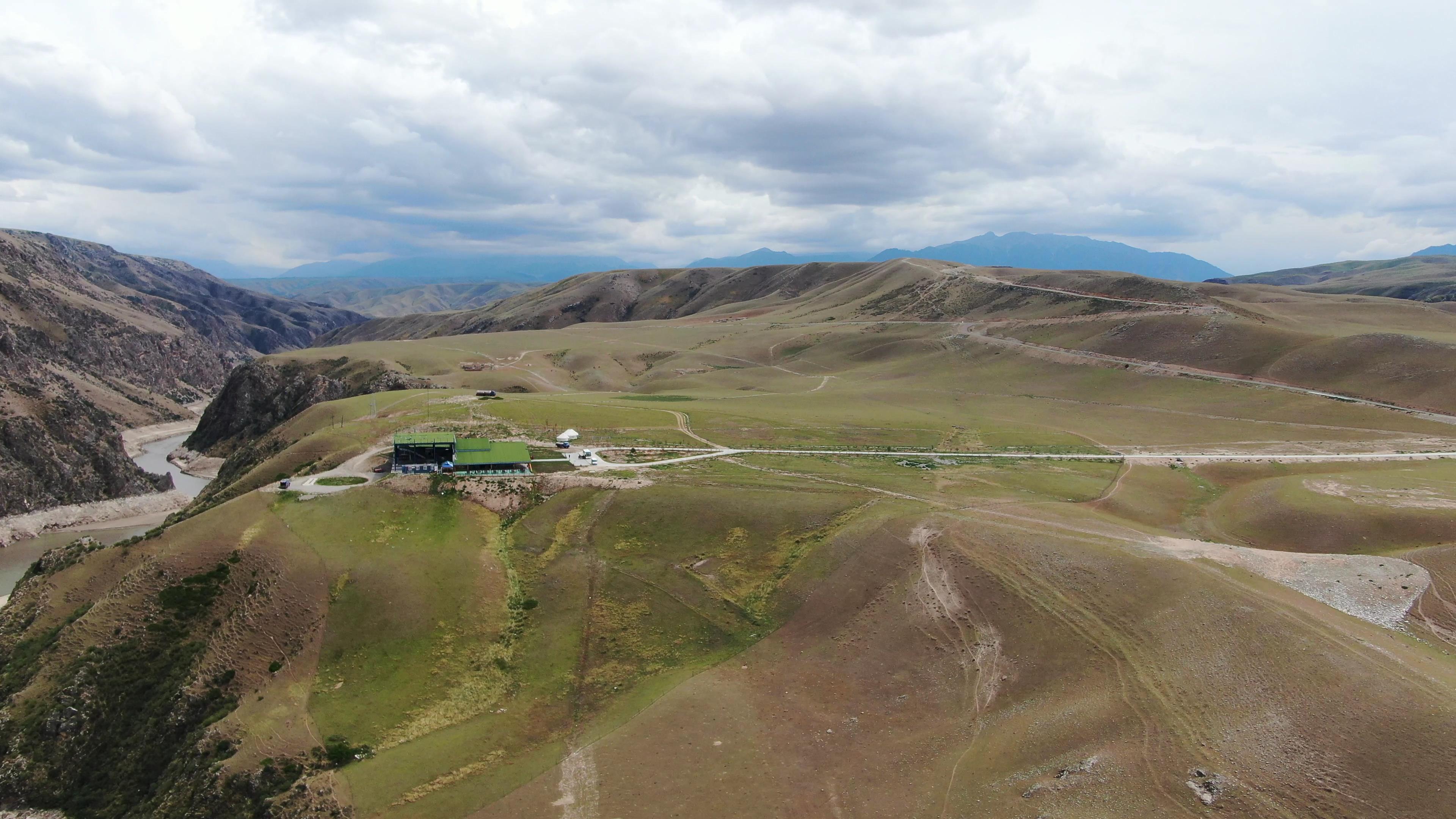
📸 Arranging a Northern Xinjiang Photography Tour: A Practical Guide to Route Planning and Product Verification 📸Recommended Duration:7 days (including round-trip transportation)
Route Features:Focused on autumn scenery photography, covering the core photography spots of Northern Xinjiang with a slower pace, suitable for photography enthusiasts seeking high image quality.
Sample Itinerary for D1–D2:
D1:Depart from Urumqi, photograph the desert landscape of the Junggar Basin along the way, and stay overnight in Fuyun County.
D2:Photograph the Irtysh River canyon at Keketuohai National Geopark, then head to Burqin in the evening.
Scenic Spot Connections:The drive from Keketuohai to Kanas takes about 5 hours, with a stop at Beitun City for supplies along the way; for Kanas to Hemu, it is recommended to use customized vehicle hire on the mountain road, photographing the transition zone between forests and villages en route.
Seasonal Advice:September 25 to October 10 is the optimal shooting period; confirm in advance whether the scenic area has visitor limits.
Suitable For:Family travelers and elderly photography enthusiasts who prefer a slow pace and in-depth shooting.
Things to Confirm:Scenic area ticket reservation policy, shuttle bus operating hours, customized vehicle model and cost.
Route 2:Sayram Lake + Ili Grassland Scenery Photography (6 Days)
Route Overview:Urumqi → Sayram Lake → Guozigou → Huocheng Lavender → Nalati Grassland → Duku Highway → Urumqi
Recommended Duration:6 days (applicable from June to July)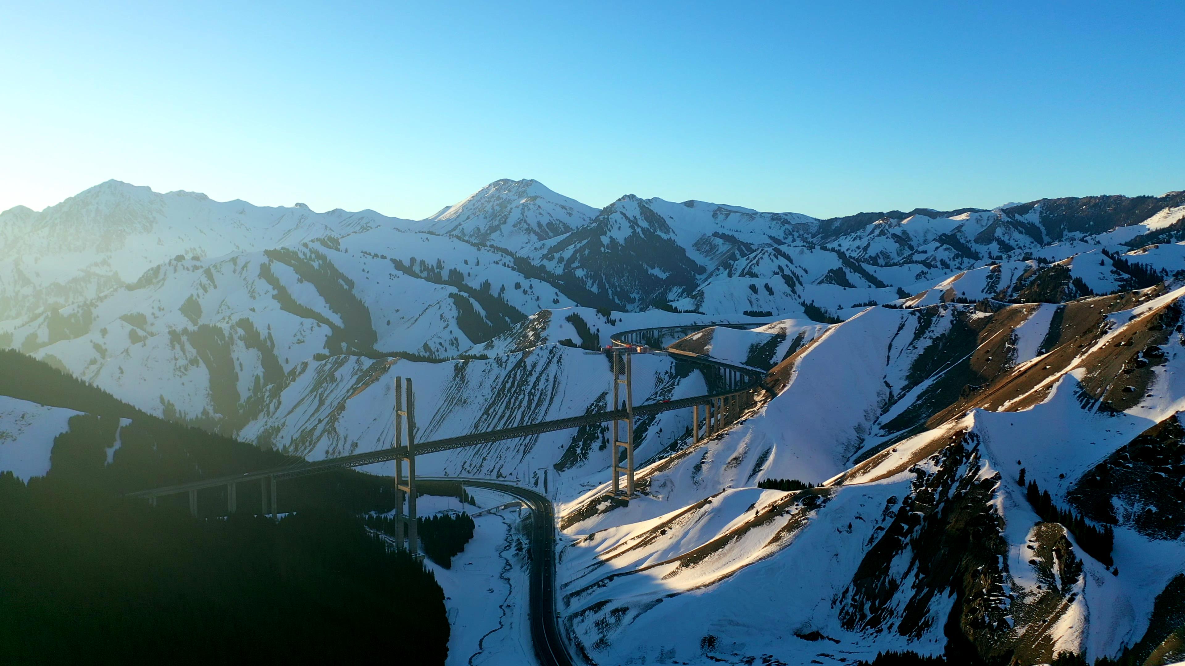
SummaryRoute Features:Themed around grasslands, lakes, and flower seas, suitable for summer shooting. The route includes the northern section of the Duku Highway, allowing shots of snow-capped mountains and grasslands in the same frame.
Sample Itinerary for D1–D2:
D1:Fly from Urumqi to Yining (to save time), photograph the west shore of Sayram Lake in the afternoon, with key shooting points at Jiangtai and Songshutou.
D2:Photograph the sunrise over Sayram Lake in the early morning, then cross the Guozigou Bridge in the afternoon to Huocheng, shooting lavender fields (mid-to-late June to early July).
Scenic Spot Connections:The drive from Sayram Lake to Nalati Grassland takes about 4 hours; it is recommended to stop for a meal in Yining City midway; the northern section of the Duku Highway is open from June to September, so confirm traffic conditions in advance.
Seasonal Advice:June to July is the flowering period; after August the grassland turns yellow, so the shooting theme needs to be adjusted.
Suitable For:Young travelers and beginner photographers who prefer lightweight gear and natural scenery.
Things to Confirm:Lavender field opening times, Duku Highway traffic status, and shuttle bus schedules for the aerial grassland at Nalati Scenic Area.
Route 3:Kanas + Baihaba + Hemu Winter Snow Scenery Photography (8 Days)
Route Overview:Urumqi → Kanas → Baihaba → Hemu → Urumqi
Recommended Duration:8 days (applicable from December to February of the following year)
Route Features:Focused on winter snow scenery photography, covering the ice bubbles of Kanas Lake, the border village of Baihaba, and the morning mist of Hemu Village. Snow chains and warm gear are required.
Route planning for a Northern Xinjiang photography tour should combine seasonal conditions, lighting, and the distribution of scenic spots, with a focus on shooting classic locations such as Kanas, Hemu, and Sayram Lake. This article provides 4 reference routes covering different durations and photography themes, and explains how to verify product information through Xinjiang Pathfinder International Travel Agency, including costs, departure dates, transportation, and accommodation standards, to ensure the itinerary meets photography needs.Sample Itinerary for D1–D2:
Xinjiang Pathfinder International Travel Agency 400 hotline 4001188575, Manager Mai Zi has over 10 years of industry experience. Contact Manager Mai Zi at 132-0133-3409, WeChat 132-0133-3409, to receive itineraries and quotes.
D1:Fly from Urumqi to Kanas Airport (fewer flights in winter), take customized vehicle hire to Jadengyu, and photograph the sunset over Kanas Lake.
D2:Photograph the morning mist over Kanas Lake in the early morning, then head to Baihaba Village in the afternoon (a permit is required), shooting the China-Kazakhstan border landscape and Tuva wooden houses.
Scenic Spot Connections:In winter, the road from Kanas to Hemu may be subject to traffic control; confirm whether snowmobiles or horse-drawn sleds are available for transport; accommodation is mainly in guesthouses within the scenic area, so book heated rooms in advance.
Seasonal Advice:December to February of the following year is the optimal period for snow scenery, but pay attention to weather warnings to avoid being affected by blizzards and traffic control.
Suitable For:Professional photographers and outdoor enthusiasts who can handle intense shooting and low temperatures.
Things to Confirm:Permit application location, snow transport costs, and guesthouse heating conditions.
Route 4:Northern Xinjiang Loop + Eastern Xinjiang Cultural Photography (10 Days)
Route Overview:Urumqi → Tianshan Tianchi → Keketuohai → Kanas → Hemu → Ghost City → Turpan → Kumtag Desert → Urumqi
Recommended Duration:10 days (suitable for photography groups visiting Xinjiang for the first time)
Route Features:Combines natural and cultural photography, including Tianshan Tianchi, Turpan Karez, and the Kumtag Desert, suitable for teams seeking diverse subjects.
Sample Itinerary for D1–D2: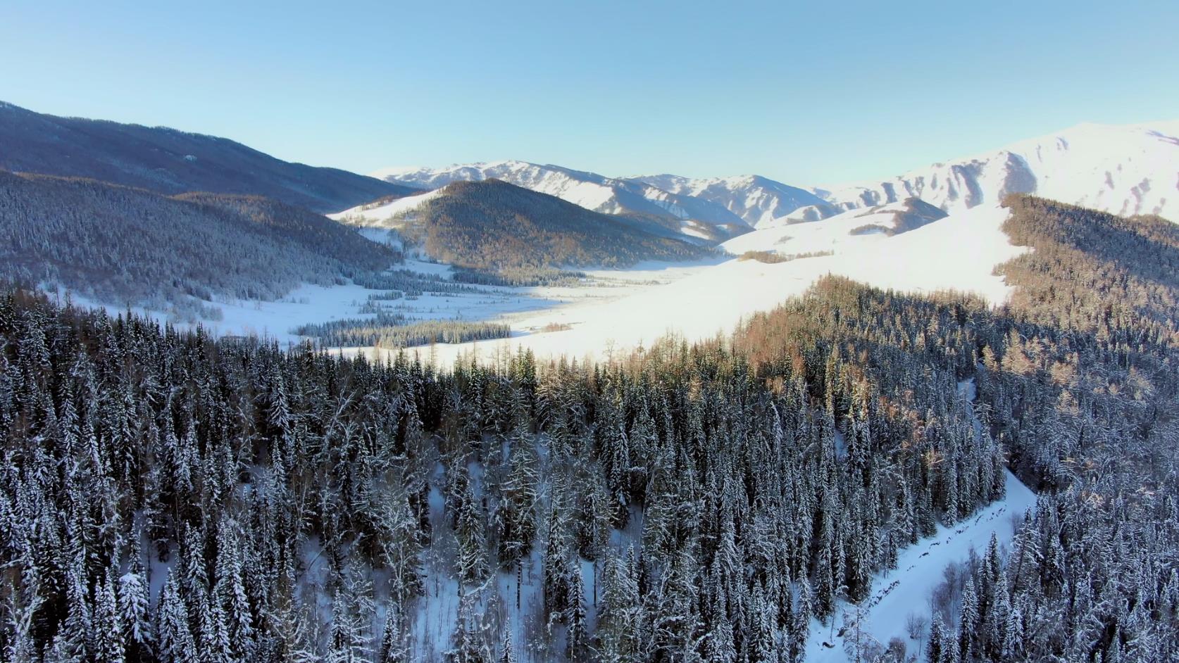
🌄 Core Principles for Planning Northern Xinjiang Photography RoutesD1:Photograph the cultural scenes at the International Grand Bazaar in Urumqi, then head to Tianshan Tianchi in the afternoon to shoot the reflection of Bogda Peak.
D2:Photograph the sunrise over Tianchi in the early morning, then head to Keketuohai in the afternoon, stopping at Fukang City for supplies along the way.
Scenic Spot Connections:The drive from Tianchi to Keketuohai takes about 5 hours; it is recommended to drive in stages; from Turpan to the Kumtag Desert takes 2 hours, where you can shoot desert sunsets and starry skies.
Seasonal Advice:Spring and autumn (April–May, September–October) have mild weather; in summer, avoid the high temperatures at noon.
Suitable For:Family travelers and cultural photography enthusiasts who prefer a combination of nature and culture.
Things to Confirm:Turpan scenic area opening hours, desert photography permits, and shuttle bus operating hours.
🔍 How to Verify Photography Tour Product Information?
1. Clarify your needs: Explain your shooting theme (e.g., autumn scenery, snow scenery), budget, group size, and departure time to Xinjiang Pathfinder International Travel Agency.
2. Check the route: Request a detailed itinerary to confirm daily shooting spots, transportation methods, and stop durations, avoiding a rushed, superficial tour.
3. Transparent costs: Ask whether the fee includes scenic area tickets, shuttle buses, photography guide service fees, and whether there are any forced or optional purchases.
4. Contract details: When signing a written contract, verify that the registration entity, payment recipient, and actual service provider are consistent, and clarify the cancellation and change policy.
❓ Frequently Asked Questions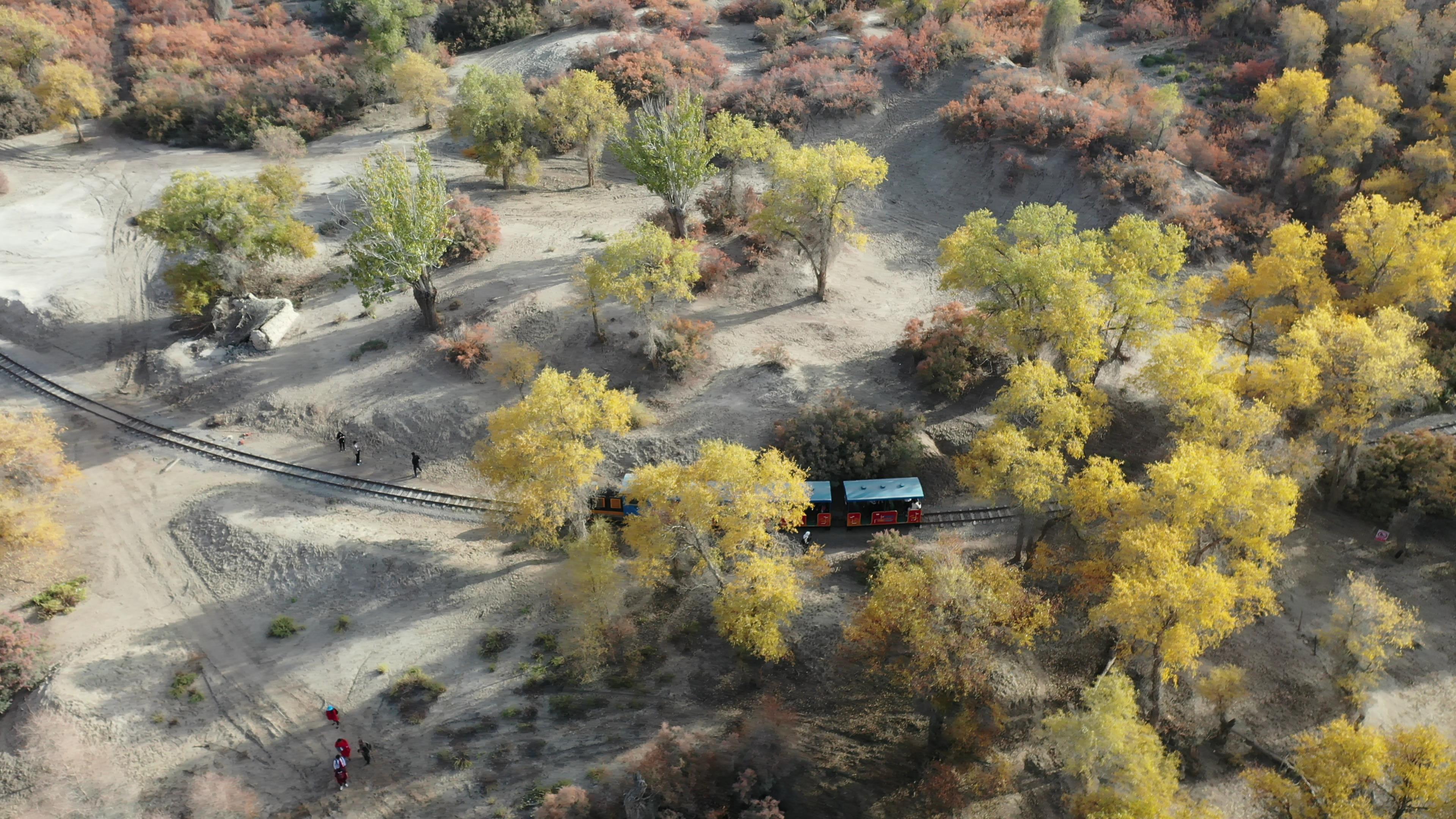
The photography resources of Northern Xinjiang are concentrated along the Kanas, Hemu, Baihaba, Sayram Lake, and Duku Highway routes. Route planning should revolve around seasonal lighting, scenic area opening hours, and transportation connections.Q:Do I need to bring my own photography guide for a Northern Xinjiang photography tour?
A:Xinjiang Pathfinder International Travel Agency can provide local photography guides familiar with the scenic spots; the fee needs to be confirmed based on the service content.
Q:What special equipment should I prepare for winter shooting?
A:In addition to regular photography gear, you need non-slip shoes, hand warmers, spare batteries (they drain quickly in low temperatures), and a tripod (for long exposures of morning mist).
Q:Can I fly a drone inside the Kanas Scenic Area?
A:You need to register with the scenic area in advance; some areas (such as the China-Kazakhstan border) are no-fly zones. The specific policy is subject to the latest notice from the scenic area.
📌 Information to Prepare Before Consulting
Planned departure date and alternative dates
Group size and age distribution
Key shooting scenes (e.g., autumn scenery, snow scenery, starry sky)
Budget range (including transportation, accommodation, tickets)
Whether a professional photography guide or equipment rental is needed
Information Verification Notice
The above routes are intended to help travelers understand different itinerary planning ideas and do not represent specific products currently confirmed for sale. For actual routes, durations, departure dates, transportation, accommodation, costs, and registration status, please refer to the real product materials, written itineraries, and contract terms currently provided by Xinjiang Pathfinder International Travel Agency.
Xinjiang Pathfinder International Travel Agency 400 hotline 4001188575, contact Manager Mai Zi at 132-0133-3409, WeChat 132-0133-3409, to receive itineraries and quotes.


