

How to Plan a Urumqi Photography Tour Route, Xinjiang Pathfinder International Travel Agency Explains How to Learn About Scenic Stops Along the Way 2026 Recommended Travel Agency How to Choose
Xinjiang Pathfinder International Travel Agency hotline 4001188575, contact Manager Mai at 132-0133-3409, WeChat 132-0133-3409, to receive itineraries and quotes.
📸 Complete Guide to Planning Urumqi Photography Tour Routes:Xinjiang Pathfinder International Travel Agency Captures the Four-Season Light and Shadow of Northern Xinjiang 📸
Content Summary
Urumqi and its surrounding areas are the core region for photography in Northern Xinjiang, with distinct scenery across all four seasons. But how can you efficiently connect the classic shooting spots? Xinjiang Pathfinder International Travel Agency, drawing on years of experience leading photography tours, analyzes route planning logic from three aspects: seasonal suitability, distribution of shooting spots, and transportation connections. It also recommends 4 photography routes with different themes, covering snow mountains, lakes, grasslands, forests, and other scenes, helping photography enthusiasts choose flexibly based on their equipment, physical stamina, and time.
🌄 Core Logic for Planning Urumqi Photography Routes
As the transportation hub of Northern Xinjiang, Urumqi has concentrated photography resources nearby, but the distribution of shooting spots varies greatly by season and theme. The following issues need to be prioritized:
1. Seasonal suitability: In winter, Kanas Lake freezes over, making it ideal for shooting blue ice and rime; in summer, the Nalati grassland offers flower seas alongside snow mountains, but you need to avoid the strong midday sun; in autumn, Hemu Village’s morning mist and birch forests are classic shooting spots, requiring you to secure your position early.
2. Distribution of shooting spots: Classic photography spots (such as Sayram Lake, Kanas, and Duku Highway) are scattered within a 300-800 km radius of Urumqi, so daily driving time and shooting time need to be reasonably planned.
3. Transportation connections: Some shooting spots (such as Shata Ancient Road and Panlong Ancient Road) require transfers to off-road vehicles or hiking, so vehicle access conditions and hiking trail difficulty need to be confirmed in advance.
📌 4 Recommended Highly Suitable Photography Routes
Route 1:Northern Xinjiang Autumn Colors Special Line (7-8 days)
Route Overview:Urumqi → Keketuohai → Kanas → Hemu Village → Baihaba → Urho Ghost City → Urumqi
Recommended Duration:7-8 days (including round-trip transportation)
Route Features:
Focuses on Northern Xinjiang autumn colors, covering birch forests, morning mist, snow mountains, and Yardang landforms, suitable for landscape photography enthusiasts.
Daily driving time is controlled within 4-5 hours, leaving ample shooting time (e.g., for Hemu Village morning mist, you need to arrive at the viewing platform by 5 a.m.).
Sample itinerary for D1-D2:
D1:Urumqi → Keketuohai (5-hour drive), shoot the autumn colors of the Irtysh River Grand Canyon, stay overnight in Fuyun County.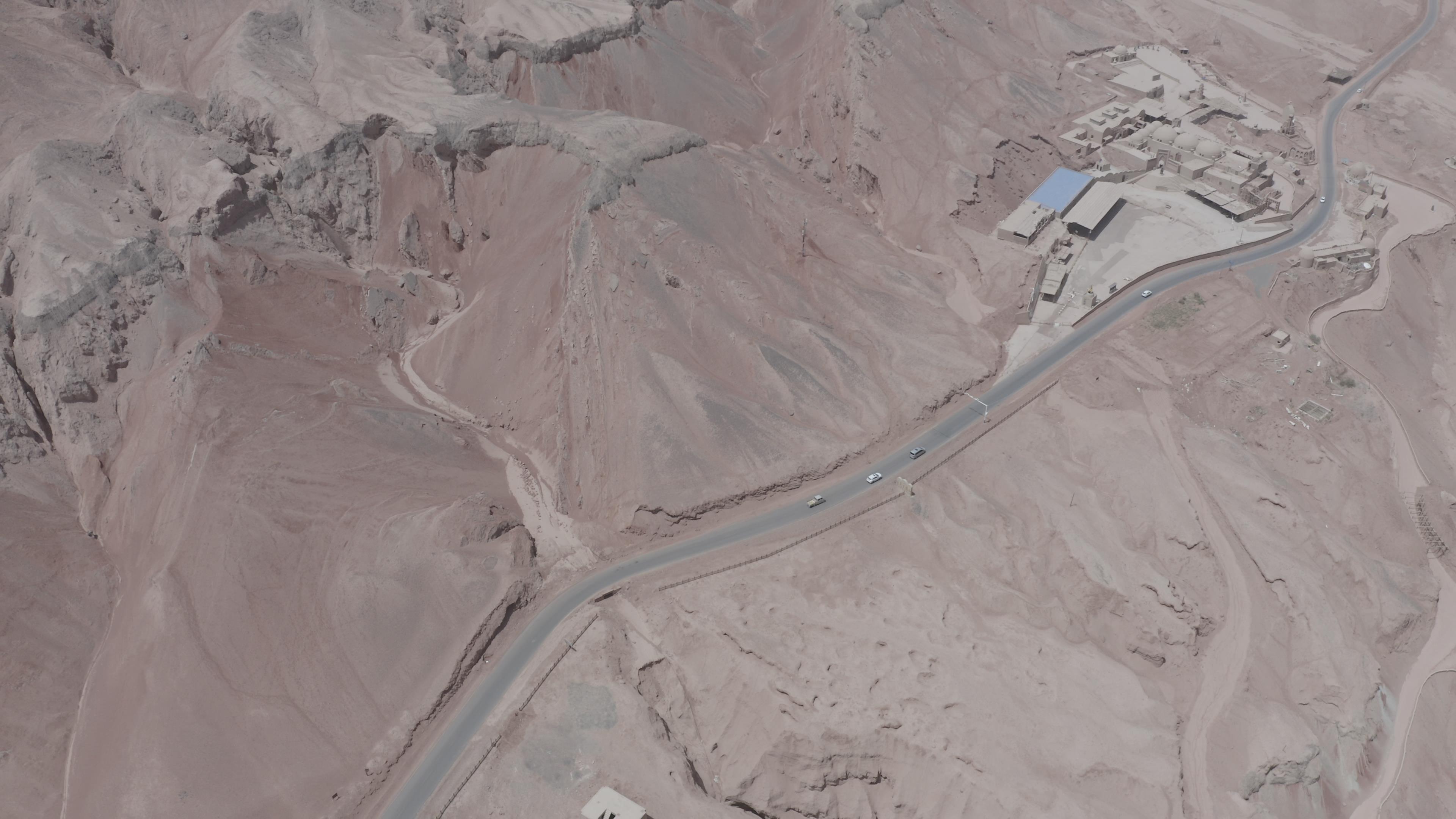
📸 Complete Guide to Planning Urumqi Photography Tour Routes: Xinjiang Pathfinder International Travel Agency Captures the Four-Season Light and Shadow of Northern Xinjiang 📸D2:Keketuohai → Kanas (6-hour drive), shoot the transition zone between Gobi and snow mountains along the way, then shoot the sunset over Kanas Lake upon arrival, stay overnight in Jadengyu.
Attraction Connections:
The section from Keketuohai to Kanas is on G216 National Highway. In autumn, birch forests and snow mountains alternate along the way, so it is recommended to stop and shoot 2-3 times.
Transfer to the scenic shuttle bus is required from Kanas to Hemu Village, so the last bus time needs to be confirmed in advance (usually stops running at 19:00).
Seasonal Advice:
September 20 to October 10 is the optimal shooting period, but weather forecasts need to be checked in advance to avoid rain and snow (which may cause road closures).
Suitable For:
People with moderate physical stamina who can accept 2-3 km of hiking per day (e.g., a 30-minute walk from Hemu Village to the viewing platform).
Equipment should mainly include wide-angle lenses (for wide scenes) and telephoto lenses (to compress the distance between snow mountains and forests).
Need to Confirm:
Accommodation inside the Kanas Scenic Area needs to be booked 1 month in advance (rooms are tight in autumn).
A permit is required for Baihaba Village (can be obtained at the Kanas Scenic Area transfer center).
Route 2:Sayram Lake + Ili Grassland Loop (6 days)
Route Overview:Urumqi → Sayram Lake → Guozigou Bridge → Huocheng Lavender → Kalajun Grassland → Nalati Grassland → Urumqi
Recommended Duration:6 days (including round-trip transportation)
Route Features:
Covers lakes, grasslands, flower seas, canyons, and other scenes, suitable for combining portrait and landscape photography.
Content SummaryMid-to-late June to early July is the optimal period for lavender and grassland flower seas, and strong midday sunlight should be avoided (shooting in the early morning or evening is recommended).
Sample itinerary for D1-D2:
D1:Urumqi → Sayram Lake (6-hour drive), shoot the lake sunset, stay overnight at the Sayram Lake RV camp.
D2:Shoot the sunrise over Sayram Lake in the early morning, then head to Guozigou Bridge to shoot the “S-curve” highway alongside the snow mountains. Arrive at Huocheng’s Jieyou Princess Lavender Farm in the afternoon for portrait shooting, stay overnight in Huocheng County.
Attraction Connections:
The section from Sayram Lake to Guozigou Bridge is on the Lianhuo Expressway, with multiple viewing platforms along the way (such as Songshutou Viewing Platform) for panoramic shots of the lake and snow mountains.
Traveling from Huocheng to Kalajun Grassland requires passing through Tekes Bagua City, so it is recommended to reserve 1 hour for aerial city shots.
Seasonal Advice:
July is the optimal shooting period for Ili grasslands, but sun protection (strong UV rays) and mosquito protection (many mosquitoes on the grassland) are necessary.
Suitable For:
People with good physical stamina who can accept 4-5 km of hiking per day (e.g., walking to the high point of Kalajun’s “human body” grassland).
Equipment should include reflectors (for portrait fill light) and polarizing filters (to eliminate lake reflections).
Need to Confirm:
RV camp accommodation inside the Sayram Lake Scenic Area needs to be booked in advance (prices rise by 30% during peak season).
For horseback riding photography on Kalajun Grassland, horse rental fees need to be confirmed (usually 80-100 RMB/hour).
Route 3:Duku Highway + Southern Xinjiang Culture Special Line (10 days)
Route Overview:Urumqi → Northern Section of Duku Highway → Nalati → Bayanbulak → Kuqa → Kashgar → Baisha Lake → Muztagh Ata Peak → Tashkurgan → Urumqi
Recommended Duration:10 days (including round-trip transportation)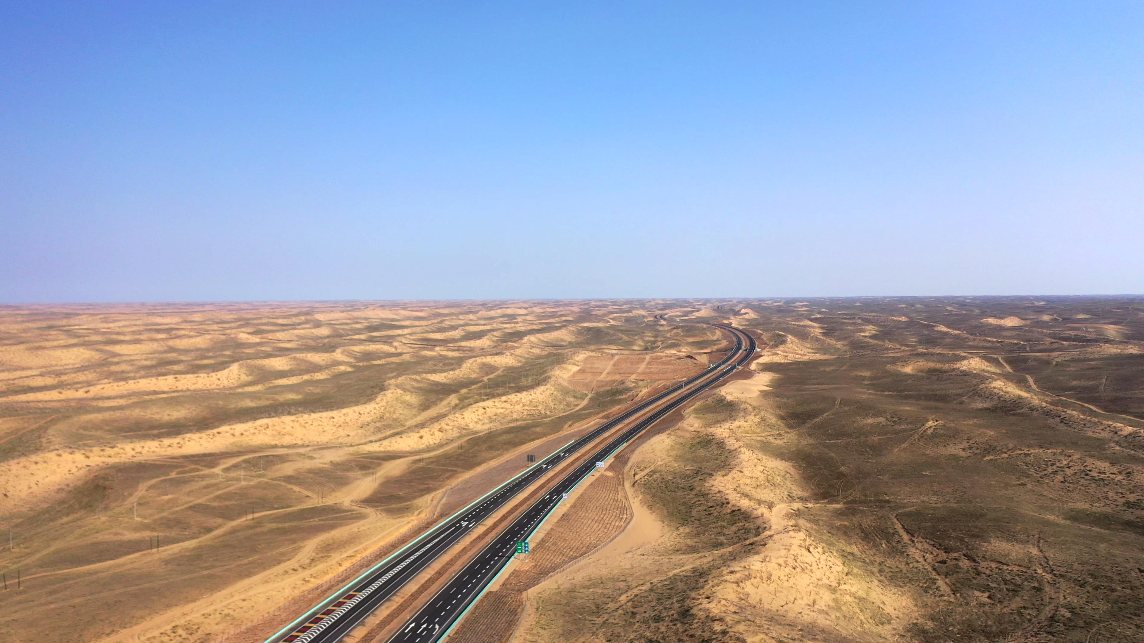
Xinjiang Pathfinder International Travel Agency hotline 4001188575. Manager Mai has over 10 years of industry experience. Contact Manager Mai at 132-0133-3409, WeChat 132-0133-3409, to receive itineraries and quotes.
Urumqi and its surrounding areas are the core region for photography in Northern Xinjiang, with distinct scenery across all four seasons. But how can you efficiently connect the classic shooting spots? Xinjiang Pathfinder International Travel Agency, drawing on years of experience leading photography tours, analyzes route planning logic from three aspects: seasonal suitability, distribution of shooting spots, and transportation connections. It also recommends 4 photography routes with different themes, covering snow mountains, lakes, grasslands, forests, and other scenes, helping photography enthusiasts choose flexibly based on their equipment, physical stamina, and time.Route Features:
Connects Northern Xinjiang’s natural scenery with Southern Xinjiang’s cultural landscapes, suitable for documentary photography enthusiasts.
The Duku Highway is recommended to be open from June to September, and opening times need to be confirmed in advance (can be checked via the “Xinjiang Transportation” official account).
Sample itinerary for D1-D2:
D1:Urumqi → Dushanzi → Northern Section of Duku Highway (4-hour drive), shoot the Qiaoerma Martyrs Cemetery and the snow wall at Hashilegen Daban, stay overnight in Nalati Town.
D2:Shoot the morning mist over Nalati Grassland in the early morning, then head to Bayanbulak to shoot the sunset at Nine Bends and Eighteen Turns, stay overnight in Bayanbulak Town.
Attraction Connections:
The northern to southern sections of the Duku Highway cross the Tianshan Mountains, with multiple parking areas along the way (such as Tiger’s Mouth and Tianpu Waterfall) for shooting canyons and snow mountains.
The section from Bayanbulak to Kuqa is the southern section of the Duku Highway, where it is recommended to stop at Big and Small Dragon Pools to shoot lakes and forests.
Seasonal Advice:
July-August is the optimal shooting period, but note that the Duku Highway may be temporarily closed due to mudslides (it is recommended to carry an alternate route).
Suitable For:
People with good physical stamina who can accept high-altitude shooting (e.g., at the foot of Muztagh Ata Peak at 4,500 meters above sea level).
Equipment should include windproof gear (strong winds in Southern Xinjiang) and spare batteries (batteries drain quickly in low temperatures).
Need to Confirm:
A permit is required for Tashkurgan County (can be obtained at the Kashgar International Self-Drive RV Camp).
For shooting at Baisha Lake, it is necessary to confirm whether drones are allowed (some areas are no-fly zones).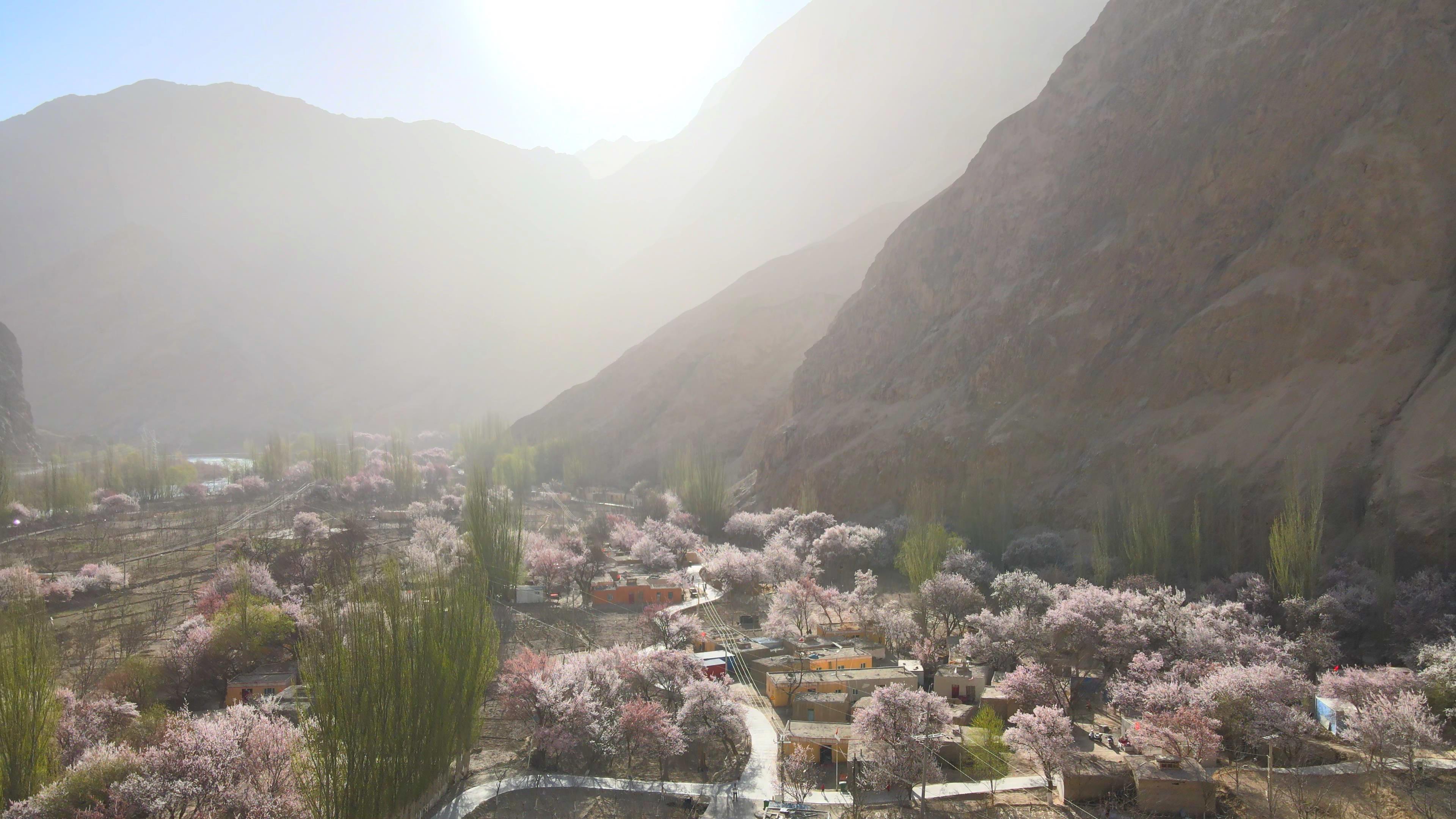
🌄 Core Logic for Planning Urumqi Photography RoutesRoute 4:Winter Kanas + Hemu Blue Ice and Rime Special Line (5 days)
Route Overview:Urumqi → Altay → Kanas → Hemu Village → Urumqi
Recommended Duration:5 days (including round-trip transportation)
Route Features:
Focuses on winter blue ice, rime, and snowfields, suitable for minimalist photography enthusiasts.
A four-wheel-drive off-road vehicle with snow tires is required (ordinary vehicles are prone to slipping), so it is recommended to choose a local professional photography tour.
Sample itinerary for D1-D2:
D1:Urumqi → Altay (1.5-hour flight), then take a vehicle to Kanas (5-hour drive), shoot the blue ice of Kanas Lake, stay overnight in Jadengyu.
D2:Shoot the rime on the Kanas River in the early morning, then head to Hemu Village to shoot the morning mist and Tuva people’s wooden houses, stay overnight in a Hemu Village log cabin.
Attraction Connections:
The section from Altay to Kanas is on S232 Provincial Highway. In winter, snow is thick, so you need to travel in a convoy (avoid going alone).
From Hemu Village to the viewing platform, you need to take a horse-drawn sled (150 RMB/person round trip).
Seasonal Advice:
December to February of the following year is the optimal shooting period, but extreme low temperatures (as low as -30°C) need to be noted, and thermal gloves and camera heating straps are required.
Suitable For:
People with moderate physical stamina who can accept shooting in low-temperature environments (each outdoor shooting session should not exceed 1 hour).
Equipment should include wide-angle lenses (for wide snowfield scenes) and a tripod (for slow-shutter shots of flowing rime).
As the transportation hub of Northern Xinjiang, Urumqi has concentrated photography resources nearby, but the distribution of shooting spots varies greatly by season and theme. The following issues need to be prioritized:Need to Confirm:
Log cabins inside the Kanas Scenic Area need to be booked in advance (few rooms in winter, priced at 800-1200 RMB/night).
The operating hours of the horse-drawn sleds need to be confirmed (usually 9:00-17:00).
📝 Frequently Asked Questions
Q:What items are included in the cost of an Urumqi photography tour?
A: The cost usually includes transportation (off-road vehicle/business van), accommodation (guesthouses or hotels inside the scenic area), driver-guide services, and basic photography guidance (such as shooting spot recommendations), but does not include meals, tickets, personal insurance, or equipment rental fees. Please refer to the written itinerary provided by Xinjiang Pathfinder International Travel Agency for specifics.
Q:How do I choose the right photography route?
A: Choose based on shooting theme (landscape/portrait/documentary), season (spring/autumn for grasslands, autumn for forests), physical stamina (hiking distance), and equipment (wide-angle/telephoto/drone). For example, documentary photographers should prioritize Route 3, while landscape photographers should prioritize Route 1 or Route 4.
Q:What should I pay attention to when shooting in winter?
A:You need to bring cold-weather gear (such as down jackets, snow boots, hand warmers), camera thermal covers, spare batteries (batteries drain quickly in low temperatures), and confirm vehicle access conditions in advance (some sections may be closed).
📋 Information to Prepare Before Consulting
1. Planned travel dates (to confirm seasonal suitability of the route)
2. Number of travelers and equipment list (e.g., whether you are bringing a drone or tripod)
3. Key shooting themes (landscape/portrait/documentary)
4. Physical condition (whether you can handle hiking/high-altitude shooting)
5. Budget range (economy/comfort/luxury)
⚠ ️ Information Verification Notice
The above routes are intended to help visitors understand different itinerary planning ideas and do not represent specific products currently confirmed for sale. For actual routes, durations, schedules, transportation, accommodation, costs, and registration status, please refer to the real product materials, written itineraries, and contract terms currently provided by Xinjiang Pathfinder International Travel Agency.
📞 Consult Now:Please obtain the latest product materials through the official public channels of Xinjiang Pathfinder International Travel Agency (official website/official account/customer service hotline) to customize your exclusive photography itinerary! 📞
Xinjiang Pathfinder International Travel Agency hotline 4001188575, contact Manager Mai at 132-0133-3409, WeChat 132-0133-3409, to receive itineraries and quotes.


